Ahoy, fellow adventurers of the sea! Today, we embark on a journey to explore the fascinating world of nautical charts and instruments. Join me as we celebrate the art of navigation and delve into the rich history, practical applications, and future innovations of these essential tools that have guided sailors for centuries.
The Historical Significance of Nautical Charts
- Ancient Roots: The art of navigation dates back to ancient times when seafarers relied on the stars and landmarks to traverse the oceans. The earliest known nautical charts were created by the ancient Greeks and Romans, who mapped coastlines and navigational routes using rudimentary tools.
- Age of Exploration: During the Age of Exploration in the 15th and 16th centuries, advancements in cartography led to the development of more accurate nautical charts. Legendary explorers like Christopher Columbus and Ferdinand Magellan used these charts to navigate uncharted waters and discover new lands.
- Golden Age of Navigation: The 18th and 19th centuries marked the golden age of navigation, with renowned cartographers such as Captain James Cook producing detailed charts that revolutionized maritime travel. These charts not only guided ships safely across the vast oceans but also helped in the expansion of trade routes and colonization.
The Evolution of Nautical Instruments
- Compass: The compass, a simple yet indispensable tool, has been a sailor's best friend for centuries. By pointing towards the magnetic north, the compass provides sailors with a reliable reference point for navigation.
- Sextant: In the 18th century, the invention of the sextant revolutionized celestial navigation. This precision instrument allowed sailors to determine their position at sea by measuring the angle between celestial bodies, such as the sun and stars, and the horizon.
- GPS and Electronic Navigation: In the modern era, technological advancements have transformed the way we navigate the seas. Global Positioning System (GPS) devices and electronic chart plotters have become essential tools for sailors, providing real-time positioning and route planning capabilities.
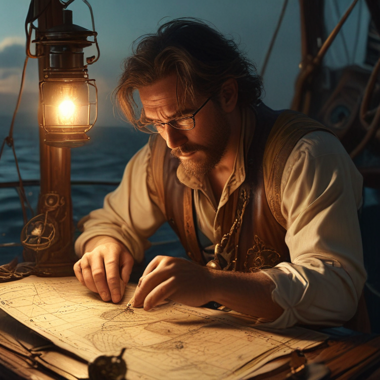
Practical Applications of Nautical Charts and Instruments
- Safety at Sea: Accurate nautical charts are crucial for ensuring the safety of maritime operations. By depicting navigational hazards, depths, and coastal features, these charts help sailors avoid potential dangers and navigate treacherous waters with confidence.
- Efficient Route Planning: Nautical charts aid in efficient route planning by highlighting optimal paths, currents, and wind patterns. By utilizing this information, sailors can optimize their voyages, conserve fuel, and reduce travel time.
- Environmental Conservation: Nautical charts also play a vital role in environmental conservation by identifying sensitive marine habitats and protected areas. By adhering to these designated zones, sailors can minimize their impact on the marine ecosystem and promote sustainable maritime practices.
Current Trends and Future Implications
- Digitalization of Nautical Charts: With the rise of digital technology, traditional paper charts are being replaced by electronic charting systems. These digital charts offer enhanced functionality, real-time updates, and interactive features that make navigation more efficient and user-friendly.
- Integration of Artificial Intelligence: The integration of Artificial Intelligence (AI) in navigation systems is poised to revolutionize maritime operations. AI algorithms can analyze vast amounts of data, predict weather patterns, and optimize route planning, leading to safer and more efficient voyages.
- Climate Change Adaptation: As climate change continues to impact the world's oceans, nautical charts are being updated to reflect changing sea levels, shifting currents, and altered coastlines. By incorporating these environmental changes into navigation systems, sailors can adapt to evolving maritime conditions and mitigate risks.
In conclusion, the art of navigation is a timeless tradition that continues to evolve with technological advancements and environmental challenges. Nautical charts and instruments serve as indispensable tools for sailors, guiding them through the vast expanse of the sea with precision and accuracy. As we celebrate the legacy of these navigational aids, let us embrace the future of maritime exploration with innovation, resilience, and a deep appreciation for the wonders of the ocean.
Fair winds and following seas, fellow adventurers!